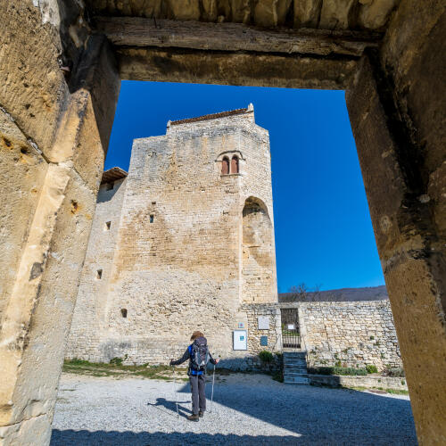
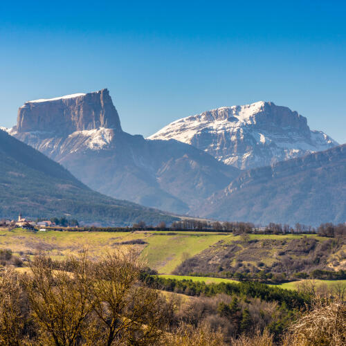
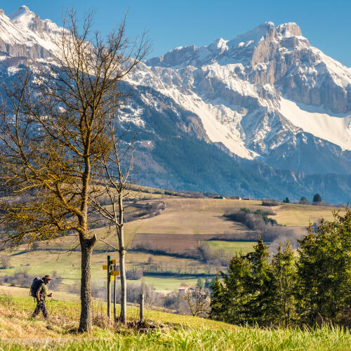
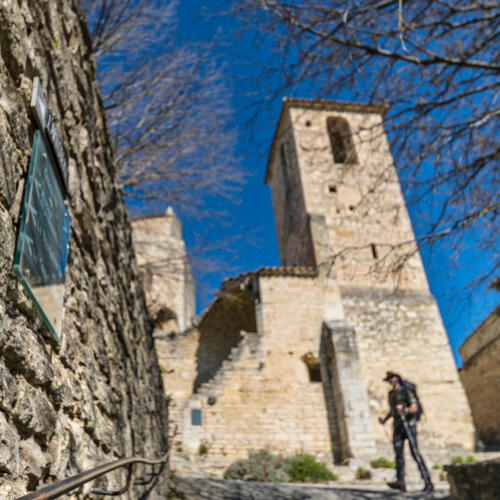
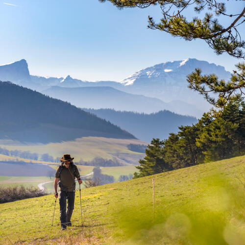
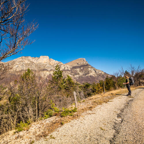
The GR®965 trail, which takes the route followed during the exile of the Huguenots to Germany, immerses us in a reflection on the history of Europe and the movements of people, as we cross landscapes where the peaceful contemplation of the mountain ranges predominates.
Sylvain, a journalist who specialises in hiking and tourism, tells us about his adventure along this legendary trek, which is steeped in history and made up of wide open natural spaces.
In the footsteps of the Huguenots is a trail which is very popular with tourists and offers some very beautiful natural landscapes. However, it does indeed bring to mind the celebrated trail of suffering taken by a group of people forced into a perilous exile.
This trail, which is a listed "European trail of culture", like the Camino de Santiago, does indeed follow the route of the exile of the Huguenots of the Dauphiné region to Switzerland and Germany, triggered by the revocation of the Edict of Nantes in 1685, which lasted five years.
We think about it on the way, while enjoying the diversity and beauty of the route!
Duration
29 days
Distance
374 km
Walking pace
15 km walk per stage on average
Difficulty
Good walker, long journey
Average budget per day
€70, option to camp at a lower price
Themes of the route
History and wide open spaces
The Huguenots' trail (its "main" route called the GR®965), leaves from Poët Laval in the southern part of the Drôme region, 40 km south of Valence, and crosses over the département towards the north-west, before entering the south of the Vercors.
It continues in Isère through the Drac valley, then crosses the agglomeration of Grenoble, before ascending to the ridges of the Chartreuse.
In Savoie, it goes back down to the Lac du Bourget before running alongside the Rhône towards Lake Geneva and Geneva.
You can even continue through Switzerland, and on to Germany.
7 to 9 days / 120.3 kilometres
The route begins in the southern part of the Drôme, between the lavender fields and Mediterranean hills. The landscape is very varied, with rocky passages, fields, beautiful villages, before revealing the southern side of the Vercors and walking in the valley of the Drôme. The Col de Menée is the way to cross the Vercors, and descend to Le Trièves.
The stages in detail:
> Le Poët-Laval - Dieulefit: 5.8 km, 1h30min
> Dieulefit - Bourdeaux: 15.5 km, 6h
> Bourdeaux - La Chaudière: 13.8 km, 5h30min
> La Chaudière - Rimon-et-Savel: 16.9 km, 6h
> Rimon-et-Savel - Die: 20.5 km, 6h30min
> Die - Valcroissant: 7.6 km, 3h30min
> Valcroissant - Châtillon-en-Diois: 11.6 km, 5h30min
> Châtillon-en-Diois - Les Nonières: 11.3 km, 4h30min
> Les Nonières - Le Percy: 17.3 km, 6h30min
7 to 9 days / 144.1 kilometres
The route introduces you to the pretty villages of Le Trièves, at the foot of the Mont Aiguille, followed by a succession of views overlooking the mountain ranges as far as the Laffrey lakes before descending towards Vizille and entering the Grenoble agglomeration.
This is followed by a climb to the eastern ridges of the Chartreuse, passing by the paragliding launch site of St Bernard du Touvet, where the panoramas on Grésivaudan and Belledonne are magnificent. Then, there is a gentle descent towards the vineyards of Savoie.
The stages in detail:
> Le Percy - Mens: 15.6 km, 4h
> Mens - St Jean d'Herans: 7.7 km, 2h30min
> St Jean d'Herans - La Mure: 10.3 km, 3h
> La Mure - Laffrey: 15.8 km, 4h30min
> Laffrey - Vizille: 11.6 km, 4h
> Vizille - Echirolles: 14.3 km, 4h
> Grenoble crossing: 7.7 km, 2h
> Grenoble - Biviers: 11.0 km, 5h
> Biviers - Saint Pancrasse: 17.7 km, 7h30min
> Saint Pancrasse - Saint Bernard du Touvet: 10.5 km, 6h
> Saint Bernard - Barraux: 21.9 km, 6h30min
7 days / 122 km
After the slopes of the Drôme, the southern Vercors and the Chartreuse, the trail of the Huguenots in the Savoies is more gentle as it runs alongside the banks of the Leysse, followed by those of the Lac du Bourget, making the journey incredibly romantic. We then gain a little altitude by reaching the Chambotte mountain range, in order to arrive at the Swiss border by the banks of the Rhône at Seyssel. This is followed by two days in Haute-Savoie on very quiet forest paths, at an altitude of about 1000 metres.
The stages in detail:
> Barraux - Apremont: 16.8 km, 7h30min
> Apremont - Chambéry: 10.1 km, 5h30min
> Chambéry - Le Bourget du Lac: 11.2 km, 3h
> Le Bourget du Lac - Aix les Bains: 7.4 km, 2h30min
> Aix les Bains - Chindrieux: 18.5 km, 6h30min
> Chindrieux - Motz: 14.0 km, 6h30min
> Motz - Seyssel: 5.5 km, 2h
> Seyssel - Frangy: 17.2 km, 5h
> Frangy - Chancy: 21.3 km, 6h
- The ruined village of Poët Laval is the starting point, and although marked by the wars of religion, is oh so picturesque!
- The city of Die, its pretty historic centre and the cellars full of Clairette, the champagne of Vercors!
- The Chartreuse balconies: a spectacular passage where you can admire the Grésivaudan valley and the Grenoble area, viewed from above!
There is also a version of the Huguenots' trail for bicycles. A route that runs parallel to the trails was put forward by the "In the footsteps of the Huguenots" association. It has 9 stages from Montélimar to Geneva, covering over 430 kilometres of cycle paths or roads with light traffic.
Just after Mens, the "capital" of Le Trièves, we take a beautiful path that offers breathtaking views of the Mont Aiguille, one of the most extraordinary shaped mountains with its unique summit plateau.
You have to taste the ravioli of the Dauphiné, a great speciality of the Vercors at the start of the route; these little raviolis and will make you forget their Italian rivals!
"My advice: You still need to prepare well. The trail of the Huguenots is technically typical of the great historical routes: it crosses the mountain ranges in the simplest way possible, staying halfway up the slope or in a valley. Nevertheless, expect some serious climbs!"